
3D Ranch Map
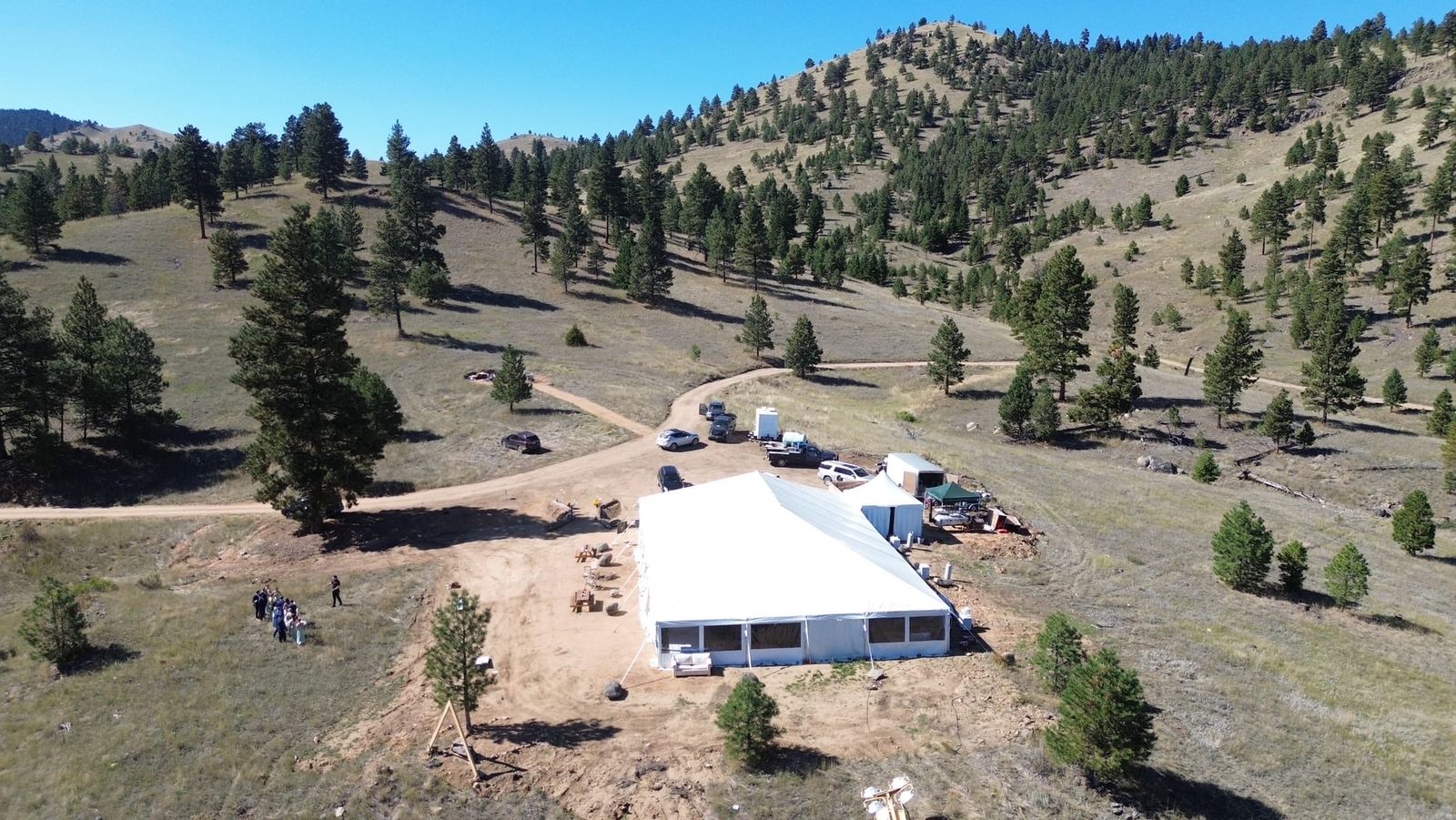
Interactive 3D terrain
Terrain, imagery and the compound's landing zones, observation posts and structures, with distance, elevation and MGRS tools.
Interactive 3D terrain
Terrain, imagery and the compound's landing zones, observation posts and structures, with distance, elevation and MGRS tools.